Land is one of the most valuable assets a person can own. However, unclear boundaries can quickly turn a valuable investment into a source of conflict.
Across Kenya, many land disputes arise not because ownership documents do not exist, but because there is uncertainty about the physical location and limits of a property.
A person may have a title deed, but disagreements can still happen over:
- Where one parcel ends and another begins
- Missing or misplaced beacons
- Land size differences
- Encroachment by neighbours
- Informal subdivisions
This is why accurate surveying is a critical part of land ownership.
What Is a Land Boundary Dispute?
A land boundary dispute occurs when two or more parties disagree about the location, size, or limits of a property.
Common disagreements include:
- A neighbour claiming part of your land
- Construction crossing into another parcel
- Different interpretations of boundaries
- Missing survey markers
- Disagreements after inheritance or subdivision
Common Causes of Land Boundary Disputes in Kenya
1. Missing or Destroyed Beacons
Beacons are physical markers used to indicate property boundaries.
They can become unclear due to:
- farming activities
- construction
- natural damage
- intentional removal
When boundaries are no longer visible, disputes may arise.
2. Informal Land Subdivision
Many disputes happen when land is divided informally without proper surveying.
Examples:
- family land shared without updated records
- buyers purchasing portions without proper subdivision
- verbal agreements replacing official processes
3. Reliance Only on Documents
A title deed is important, but property owners should also understand the physical location of their land.
A mismatch between documents and ground reality can create problems.
4. Inaccurate Measurements
Older surveys or unclear records may create confusion about:
- acreage
- boundary positions
- neighbouring parcels
5. Inheritance Disagreements
Family land can become complicated when:
- several heirs are involved
- boundaries are unclear
- subdivision was never completed
How Land Surveyors Help Resolve Boundary Disputes
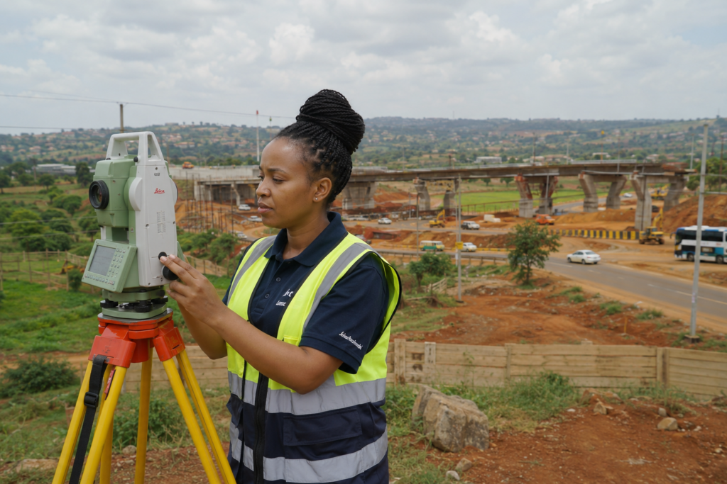
A professional surveyor provides technical evidence by:
Reviewing Survey Records
Surveyors examine available records to understand the property’s official boundaries.
Conducting Boundary Surveys
A boundary survey helps establish:
- correct parcel location
- boundary points
- measurements
- relationship with neighbouring properties
Re-establishing Missing Beacons
Where boundary markers are missing, surveyors can assist in restoring accurate boundary positions.
Providing Professional Reports
Survey information can support discussions between:
- property owners
- lawyers
- developers
- government agencies
How to Prevent Land Boundary Disputes
Before buying or developing land:
✓ Conduct a professional survey
✓ Confirm existing boundaries
✓ Locate property beacons
✓ Avoid informal subdivisions
✓ Maintain proper documentation
Prevention is usually less expensive than resolving a dispute later.
Why Land Metric Surveyors?
Land disputes often begin with uncertainty.
Land Metric Surveyors helps property owners replace uncertainty with accurate information through:
- boundary surveys
- cadastral surveys
- GIS mapping
- professional land verification
Our approach combines technical expertise with modern surveying technology to help clients make confident land decisions.
Frequently Asked Questions
How can I solve a boundary dispute in Kenya?
The first step is obtaining accurate technical information through a professional boundary survey.
Can a surveyor determine my land boundaries?
Yes. A qualified surveyor can verify boundaries using survey records and field measurements.
What happens if land beacons are missing?
A surveyor can assist with beacon re-establishment based on official survey information.