Before any major construction project begins, one of the most important questions developers must answer is:
“What exactly does the land look like?”
Many construction challenges occur because projects begin without accurate information about the site.
A topographical survey provides a detailed understanding of the physical characteristics of land, allowing architects, engineers, and developers to make informed decisions before construction begins.
It reveals important details such as:
- land elevation
- slopes
- drainage patterns
- existing structures
- natural features
- boundaries
- physical obstacles
A successful project begins with accurate information.
What Is a Topographical Survey?
A topographical survey is a detailed mapping process that captures the natural and man-made features of a piece of land.
Unlike a basic boundary survey that focuses mainly on property limits, a topographical survey provides a complete picture of the terrain.
It shows:
- height differences across the land
- ground levels
- existing buildings
- roads
- trees
- drainage features
- utility locations
This information becomes a foundation for planning and design.
Why Are Topographical Surveys Important in Kenya?
Kenya has diverse landscapes, from urban developments in Nairobi to agricultural and rural areas across the country.
Different terrains create different construction considerations.
A topographical survey helps identify challenges before they become expensive problems.
1. Better Construction Planning
Before architects design buildings, they need accurate site information.
A topographical survey helps determine:
- suitable building locations
- foundation considerations
- site access
- drainage planning
This improves design accuracy.
2. Understanding Land Elevation
Elevation differences affect construction decisions.
A survey helps identify:
- high points
- low points
- slopes
- natural water flow
This information is especially important for:
- residential estates
- roads
- commercial developments
- industrial projects
3. Preventing Drainage Problems
Poor drainage planning can cause serious construction issues.
A topographical survey helps engineers understand:
- water movement
- natural drainage paths
- areas prone to flooding
This allows better planning before construction begins.
4. Supporting Architects and Engineers
Design professionals depend on accurate measurements.
Topographical data helps them create designs that match actual site conditions.
It supports:
- architectural drawings
- engineering designs
- infrastructure planning
5. Reducing Construction Risks
Starting construction without accurate site information can result in:
- redesign costs
- delays
- unexpected earthworks
- drainage failures
- budget increases
A survey helps identify potential issues early.
What Information Does a Topographical Survey Include?
A professional topographical survey may capture:
Natural Features
- slopes
- hills
- valleys
- vegetation
- water features
Built Features
- buildings
- roads
- fences
- walls
- utilities
Ground Information
- elevations
- contours
- levels
- coordinates
Technology Used in Modern Topographical Surveys
Modern surveying has evolved beyond traditional measurements.
Professional surveyors use:
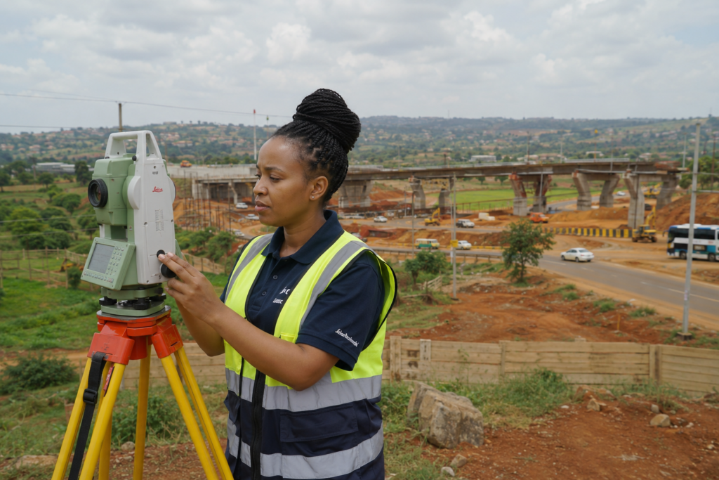
Total Stations
For precise field measurements.
GPS Surveying Equipment
For accurate positioning.
GIS Technology
For organizing and analysing spatial information.
Drone Mapping
For efficient data collection over large areas.
Who Needs a Topographical Survey?
Topographical surveys are valuable for:
- property developers
- architects
- engineers
- construction companies
- government agencies
- investors
Common projects include:
- residential developments
- commercial buildings
- roads
- infrastructure projects
- industrial facilities
Why Choose Land Metric Surveyors?
At Land Metric Surveyors, we understand that every successful project begins with accurate site information.
We provide professional surveying solutions using modern technology and technical expertise.
Our topographical surveying services help clients:
- understand their land
- plan effectively
- reduce risks
- make better development decisions
Frequently Asked Questions
How much does a topographical survey cost in Kenya?
The cost depends on factors such as land size, location, terrain, accessibility, and project requirements.
Is a topographical survey necessary before construction?
For many construction projects, yes. It provides essential information required for proper planning and design.
What is the difference between a topographical survey and a boundary survey?
A boundary survey identifies property limits, while a topographical survey maps the physical features and elevation of the land.