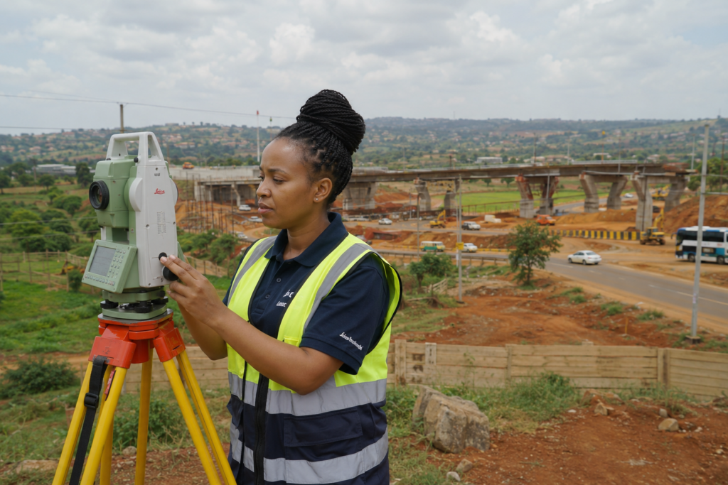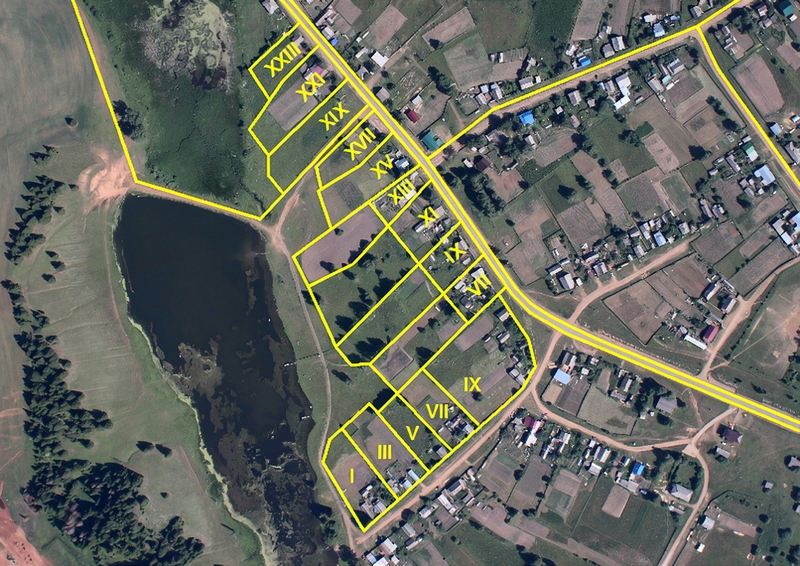
Land surveying has changed significantly over the years.
Traditional surveying methods have evolved into highly accurate digital processes using advanced technology.
Today, professional surveyors use tools such as:
- GPS positioning systems
- Geographic Information Systems (GIS)
- drone mapping
- digital data processing
These technologies allow property owners, developers, and organizations to make better decisions using accurate spatial information.
What Is GPS Surveying?
GPS surveying uses satellite positioning technology to determine accurate locations on the Earth’s surface.
Unlike ordinary GPS navigation used in phones and vehicles, professional surveying GPS equipment provides highly precise measurements.
Surveyors use GPS technology for:
- boundary verification
- control point establishment
- mapping
- engineering projects
What Is GIS in Land Surveying?
Geographic Information Systems (GIS) are systems used to collect, manage, analyse, and display geographic information.
GIS allows survey data to be combined with other information such as:
- land ownership data
- infrastructure
- environmental information
- development plans
This creates a more complete understanding of a location.
Benefits of GIS and GPS Surveying
1. Improved Accuracy
Modern technology allows surveyors to collect highly accurate spatial data.
This helps reduce:
- measurement errors
- boundary confusion
- planning mistakes
2. Faster Data Collection
Digital tools improve efficiency compared to traditional manual processes.
Large areas can be mapped more effectively.
3. Better Decision Making
Accurate spatial information helps clients understand:
- land potential
- development opportunities
- environmental factors
4. Digital Property Records
GIS allows information to be stored digitally for easier:
- access
- analysis
- updating
Drone Mapping and Modern Surveying
Drone technology has introduced new possibilities in land surveying.
Drone mapping can assist with:
- aerial photography
- large-scale mapping
- site monitoring
- development tracking
It is especially useful for:
- large farms
- construction projects
- infrastructure developments
Applications of GIS and GPS Surveying in Kenya
Modern surveying technology supports:
Property Development
Helping developers understand sites before construction.
Urban Planning
Supporting better infrastructure decisions.
Agriculture
Mapping farms and managing land resources.
Engineering Projects
Providing accurate project data.
Environmental Management
Understanding land use and natural features.
Why Technology Matters in Land Decisions
Land decisions involve significant financial investments.
Accurate information helps prevent:
- unnecessary disputes
- incorrect planning
- wasted resources
Technology gives property owners confidence based on reliable data.
Land Metric Surveyors: Combining Expertise With Technology
At Land Metric Surveyors, we combine professional surveying knowledge with modern geospatial solutions.
Our capabilities include:
- GPS surveying
- GIS mapping
- drone mapping
- cadastral surveys
- topographical surveys
We help clients transform land information into practical decisions.
Frequently Asked Questions
What is GIS used for in land surveying?
GIS helps surveyors manage, analyse, and visualize geographic information for better decision-making.
Is GPS accurate enough for land surveying?
Professional surveying GPS equipment provides highly accurate measurements suitable for professional surveying applications.
Are drones replacing surveyors?
No. Drones are tools that enhance surveying efficiency, while professional surveyors remain responsible for accuracy, interpretation, and technical decisions.