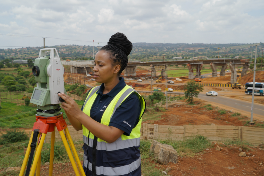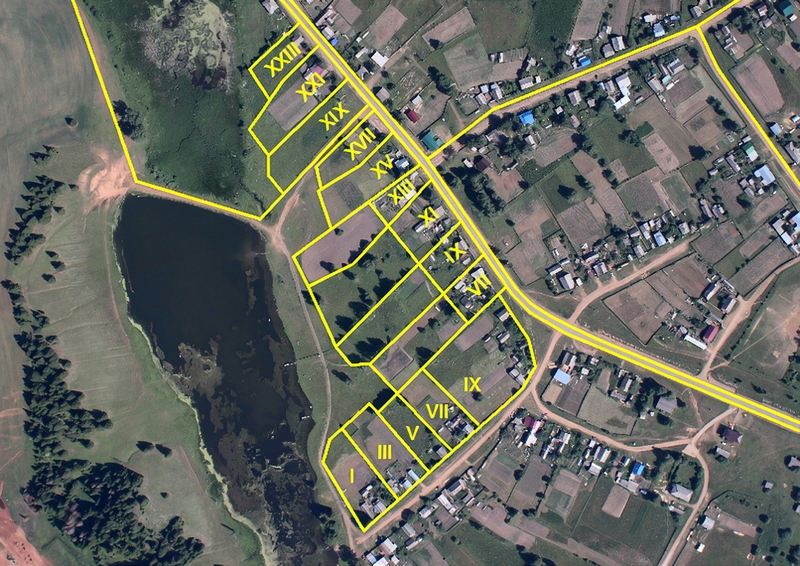
Many people think a land surveyor’s job is simply measuring plots.
However, modern surveying involves much more.
A land surveyor is a professional responsible for collecting, analysing, and presenting accurate information about land.
Surveyors help answer important property questions:
- Where exactly are my boundaries?
- How large is my property?
- Can this land support my construction plans?
- Are there possible boundary problems?
- How can this property be mapped accurately?
Main Responsibilities of a Land Surveyor
1. Establishing Land Boundaries
One of the most important roles of a surveyor is confirming property boundaries.
This involves:
- reviewing survey records
- locating boundary points
- taking measurements
- identifying discrepancies
Boundary verification helps reduce conflicts between neighbouring property owners.
2. Conducting Cadastral Surveys
Cadastral surveying focuses on land ownership boundaries.
It supports:
- property registration
- subdivisions
- boundary confirmation
- land administration
This is especially important in Kenya where accurate land information helps prevent disputes.
3. Supporting Property Buyers
Before purchasing land, buyers need confidence that:
- the property exists
- boundaries are correct
- measurements are accurate
A surveyor provides independent technical verification.
4. Supporting Construction Projects
Before construction begins, professionals need accurate information about the site.
Surveyors provide:
- site measurements
- elevation information
- positioning data
This helps engineers and architects design correctly.
5. Creating Maps and Spatial Data
Modern surveyors create detailed maps using:
- GIS technology
- GPS systems
- digital mapping tools
These maps support:
- planning
- development
- decision-making
6. Resolving Land Disputes
Many land disputes arise from unclear boundaries.
Surveyors provide technical evidence that helps establish:
- correct positions
- measurements
- property limits
Types of Surveying Services in Kenya
Boundary Surveys
For confirming property boundaries.
Topographical Surveys
For understanding land features and elevation.
Engineering Surveys
For construction and infrastructure.
Subdivision Surveys
For dividing land parcels.
GIS Mapping
For managing spatial information.
Drone Mapping
For aerial data collection and large-scale projects.
Why Land Surveyors Are Important Before Buying Land
A land survey protects buyers by helping identify:
- incorrect measurements
- boundary issues
- encroachments
- development limitations
A title deed confirms ownership.
A survey confirms reality on the ground.
How Land Metric Surveyors Creates Value
Land Metric Surveyors combines professional surveying knowledge with modern technology.
Our goal is to provide clients with:
- accurate information
- reliable mapping
- informed decision-making
We support individuals, developers, businesses, and institutions with professional surveying solutions.
Frequently Asked Questions
Do I need a surveyor when buying land in Kenya?
Yes. A surveyor helps confirm the physical boundaries and condition of the property.
Are land surveyors only needed for large projects?
No. Surveyors assist with residential plots, farms, commercial developments, and infrastructure projects.
What equipment do surveyors use?
Surveyors use tools such as GPS equipment, Total Stations, GIS systems, and drones.