Land is one of the most valuable investments many Kenyans make. Whether you are buying a plot, developing property, subdividing land, or resolving a boundary issue, professional surveying plays a critical role in protecting that investment.
One of the first questions property owners ask is:
“How much does a land survey cost in Kenya?”
The answer is not a fixed amount because every property has unique requirements.
A professional surveyor considers several factors before determining the cost of a surveying project, including:
- Type of survey required
- Size of the property
- Location
- Accessibility
- Terrain
- Existing survey information
- Technology required
- Complexity of the project
Understanding these factors helps property owners budget correctly and avoid choosing survey services based only on price.
Why Land Survey Costs Are Different
A common misconception is that surveying is simply measuring land.
Modern land surveying involves:
- field data collection
- precision measurements
- legal boundary interpretation
- mapping
- data processing
- technical reporting
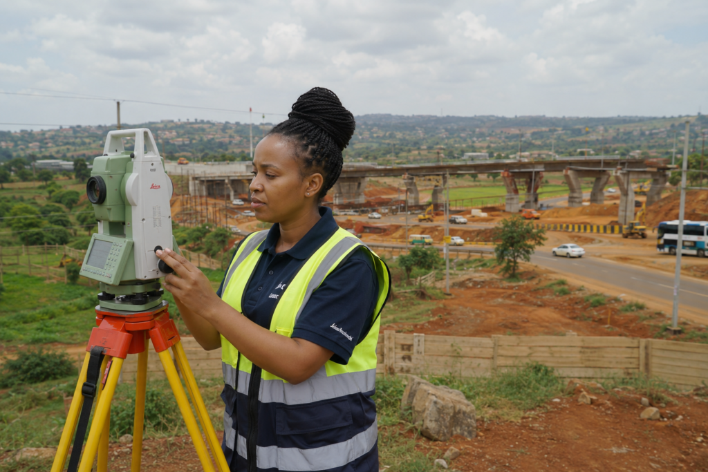
Professional surveyors use specialized equipment such as:
- Global Positioning Systems (GPS)
- Total Stations
- Geographic Information Systems (GIS)
- Drone mapping technology
The level of accuracy and expertise required affects the final cost.
Factors That Determine Land Survey Cost in Kenya
1. Type of Survey Required
The biggest factor affecting survey fees is the purpose of the survey.
Different projects require different levels of technical work.
Boundary Survey
A boundary survey is used to establish or confirm property limits.
It is commonly needed when:
- buying land
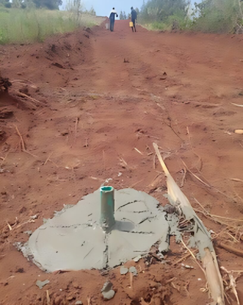
- replacing missing beacons
- resolving neighbour disputes
- confirming acreage
The surveyor may need to:
- review existing records
- locate boundary points
- verify measurements
- mark boundaries
Topographical Survey
A topographical survey provides detailed information about the land surface.
It identifies:
- elevation changes
- slopes
- drainage patterns
- existing structures
- natural features
It is commonly used for:
- architects
- engineers
- construction companies
- developers
Subdivision Survey
When landowners want to divide property into smaller parcels, subdivision surveying is required.
This involves:
- planning new boundaries
- preparing survey documentation
- ensuring compliance with regulations
Engineering Survey
Engineering surveys support construction projects by providing accurate site information.
Used for:
- roads
- buildings
- infrastructure projects
2. Size of the Property
The size of land affects the amount of fieldwork required.
A small residential plot may require less time compared to:
- large agricultural farms
- commercial developments
- industrial sites
Larger properties may involve:
- more measurement points
- more field personnel
- additional processing
3. Location of the Property
Survey costs may vary depending on where the property is located.
Factors include:
- distance from the survey office
- accessibility
- transport requirements
- availability of existing survey information
Properties in remote areas may require additional logistical planning.
4. Terrain and Site Conditions
The physical condition of the land affects surveying complexity.
Examples:
- steep slopes
- dense vegetation
- rocky terrain
- unclear access points
Difficult conditions may require additional time and specialised equipment.
5. Availability of Existing Records
Properties with clear survey records may be easier to verify.
However, challenges can arise when:
- beacons are missing
- boundaries are unclear
- old records are incomplete
- neighbouring properties have changed
Professional surveyors investigate these issues before finalizing measurements.
6. Technology Used
Modern surveying technology improves accuracy and efficiency.
Land Metric Surveyors uses modern approaches including:
GPS Surveying
Provides accurate positioning information.
GIS Mapping
Helps organize and analyse spatial data.
Drone Mapping
Useful for capturing detailed aerial information for large or complex sites.
Technology selection depends on project requirements.
Why Choosing the Cheapest Surveyor Can Be Expensive
Land mistakes can cost far more than professional surveying fees.
Poor surveying can contribute to:
- boundary disputes
- construction mistakes
- incorrect land sizes
- delayed projects
The cheapest option is not always the most economical.
The right question is:
“Will this survey give me accurate information I can confidently use?”
How Land Metric Surveyors Approaches Survey Projects
At Land Metric Surveyors, we believe surveying is not only about measurements.
It is about helping clients make informed land decisions.
Our approach combines:
- professional surveying expertise
- modern technology
- accurate reporting
- practical property advice
We provide solutions for:
- cadastral surveys
- boundary surveys
- topographical surveys
- engineering surveys
- GIS mapping
- drone mapping
Frequently Asked Questions
How much does a land survey cost in Kenya?
The cost depends on factors such as land size, location, survey type, terrain, and project complexity.
Is land surveying expensive?
Compared to the value of land investments, professional surveying is a relatively small cost that helps prevent expensive disputes.
Should I survey land before buying?
Yes. A survey helps confirm boundaries and provides confidence before completing a property transaction.